GIS & Remote Sensing
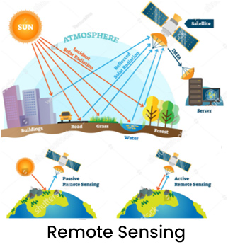
Remote Sensing
 Satellite imageries to update digital maps obtained from paper maps which are old and do not contain useful information. Redan also provides digital maps of cities, states and countries in variety of data formats with associated software suitable for specific business applications.
 Besides this, We intend to provide off-the-shelf information system with complete spatial and non-spatial database of major Indian cities for Sales & Marketing, Logistics Management, Urban Planning, Law enforcement, Insurance, Banking, Site Analysis & solutions, Dealer Network, Detailed Executive information network, Road network, Courier & Cargo management supporting network, Better market penetration, Rural Marketing, Target Marketing, Sales analysis, Distribution logistics, Market segment analysis, Territory planning analysis, Plantation Management and Merchandise planning.
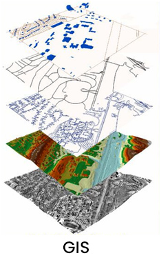
GIS
 Satellite imageries to update digital maps obtained from paper maps which are old and do not contain useful information. Redan also provides digital maps of cities, states and countries in variety of data formats with associated software suitable for specific business applications.
 Besides this, We intend to provide off-the-shelf information system with complete spatial and non-spatial database of major Indian cities for Sales & Marketing, Logistics Management, Urban Planning, Law enforcement, Insurance, Banking, Site Analysis & solutions, Dealer Network, Detailed Executive information network, Road network, Courier & Cargo management supporting network, Better market penetration, Rural Marketing, Target Marketing, Sales analysis, Distribution logistics, Market segment analysis, Territory planning analysis, Plantation Management and Merchandise planning.
© 2021 All Rights Reserved.
Developed By : 
